SIGMA Monitor: What Matters, When It Matters
Designing the persistent intelligence platform for energy, mining, forestry, and pipeline operators; turning satellite-derived spectral data into actionable alerts, reports, and ongoing site monitoring across their most critical assets.
In-depth case study available on request.
Overview
From Orbit to Insight
SIGMA Monitor is a persistent intelligence platform that transforms raw hyperspectral satellite data into actionable alerts, reports, and ongoing site monitoring. It was made for operators across energy, pipeline, mining, and forestry industries.
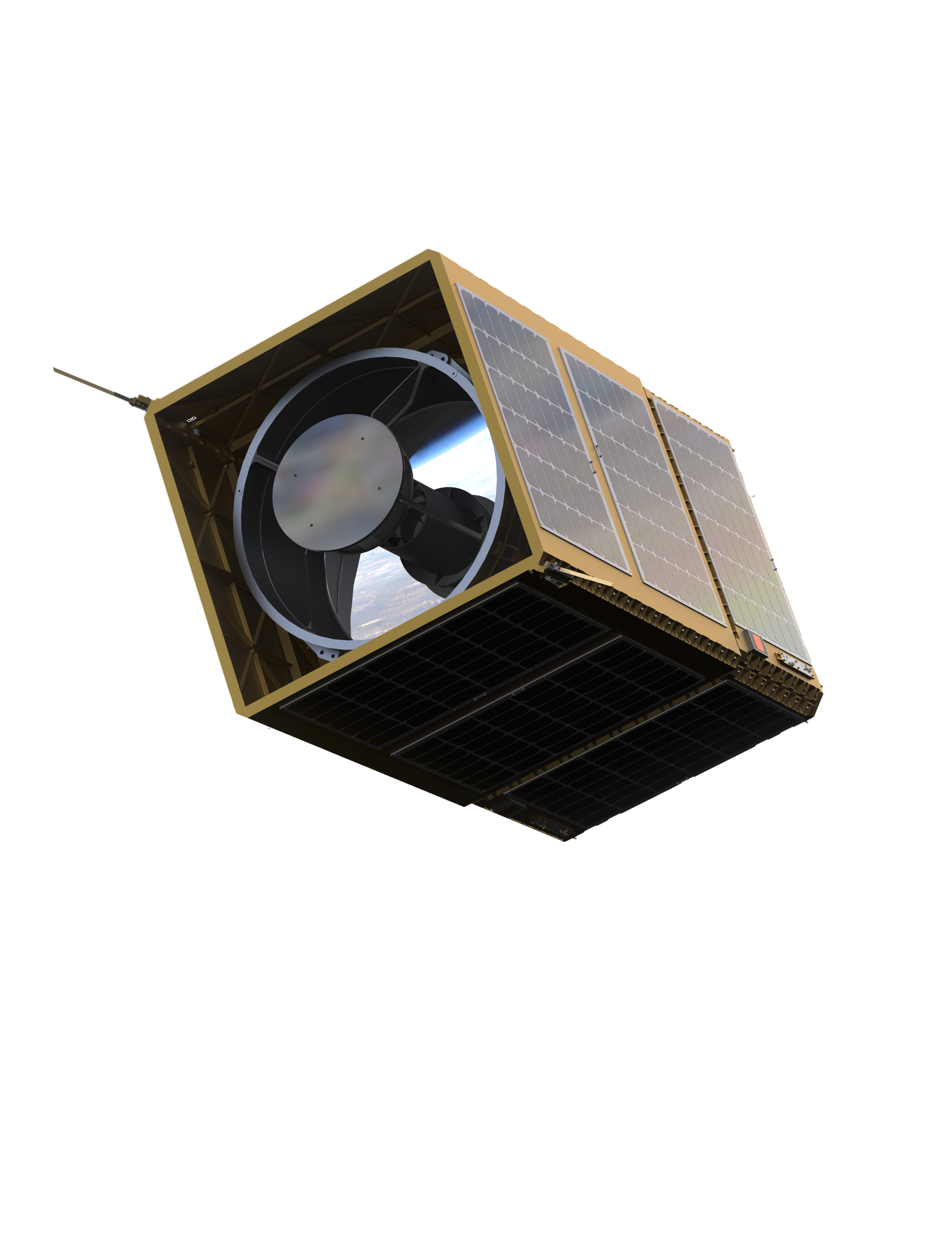
What made OSK different? NVIDIA AI processes hyperspectral data onboard the GHOSt satellites, before the data even reaches the ground. By the time an alert surfaces in SIGMA, the detection has passed through edge AI, a ground data pipeline, and human evaluation.
Customer's asset insights & data would be packaged to receive and tell a story. Not just a complex data file or spreadsheet.
Timely
Delivery

Quarterly
Reports
NVIDIA
Processing

Map Based Insights
Multi Industry Enabled




"We do not sell data.
We sell insights and story."
Tushar Prabhakar
Co-Founder of Orbital Sidekick
The Problem
The Distance Between
Data & Decision.
Energy operators, pipeline companies, mining firms, and forestry managers are responsible for thousands of miles of assets they can never fully see. Their methods to survey are expensive. They consist of aerial surveys, ground teams, and periodic inspections. These methods can become slow and fundamentally incomplete. When something goes wrong, they find out too late. The signal was always there, but the tools to surface it weren't.
SIGMA Monitor was designed to close that gap. Not by replacing the expert in the field or behind the GIS desk, but by becoming their sidekick.
By enabling people to know now, and act fast, OSK aimed to increase integrity, compliance, and readiness across the entire operational value chain.
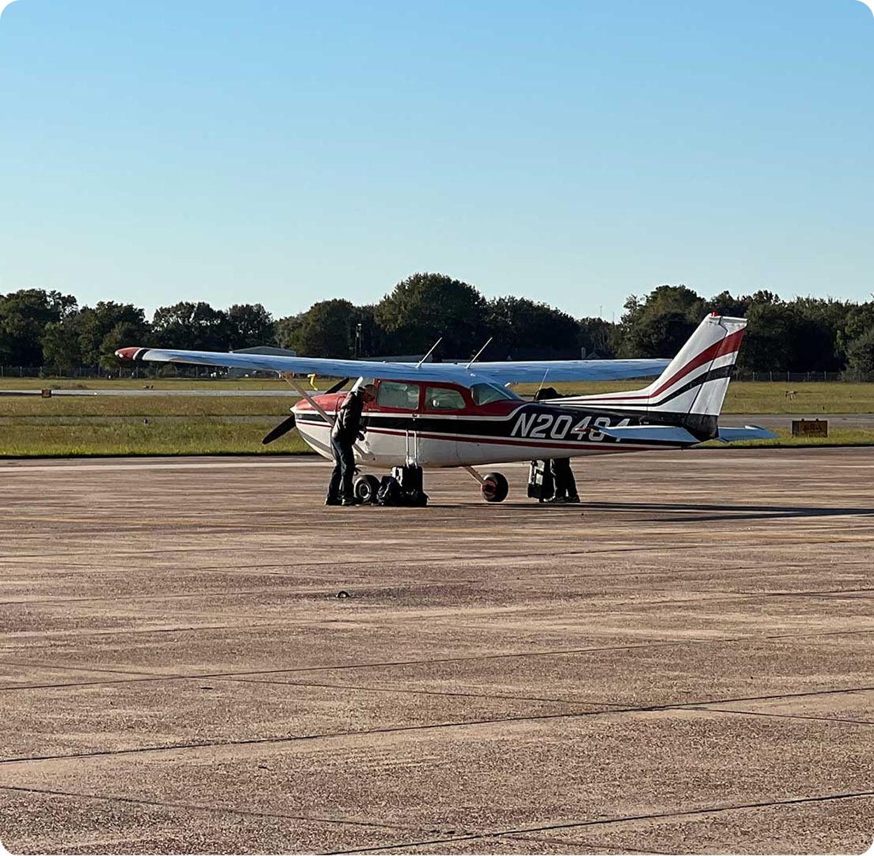
An aerial inspection plane that an energy customer would contract for asset observation.
Before - Without Monitor
- Aerial surveys. Expensive, infrequent, and limited to visible conditions.
- Raw spectral files buried in a GIS analyst's queue for days.
- Field operators reacting to events that already happened.
- Compliance reports filed after the damage is done.
- No persistent view of the full asset corridor.
After - With Monitor
- Every orbital pass surfaces what matters automatically.
- Alerts delivered with context. No analysis required from the operator.
- Act before the situation escalates or regulators call.
- Reports are ready. One click to share with leadership or regulators.
- Persistent AOI monitoring across the full asset footprint.
Field Research · Permian Basin · Louisiana
We Didn't
Design from a Desk.
We traveled to the Permian Basin to meet with a major US pipeline operator. There, we conducted site visits, ride-alongs, ethnographic studies, and one-on-one interviews with real pipeline operators on how they do their work and how OSK technology could integrate into their existing GIS systems.

CUSTOMER RESEARCH
Research before requirements
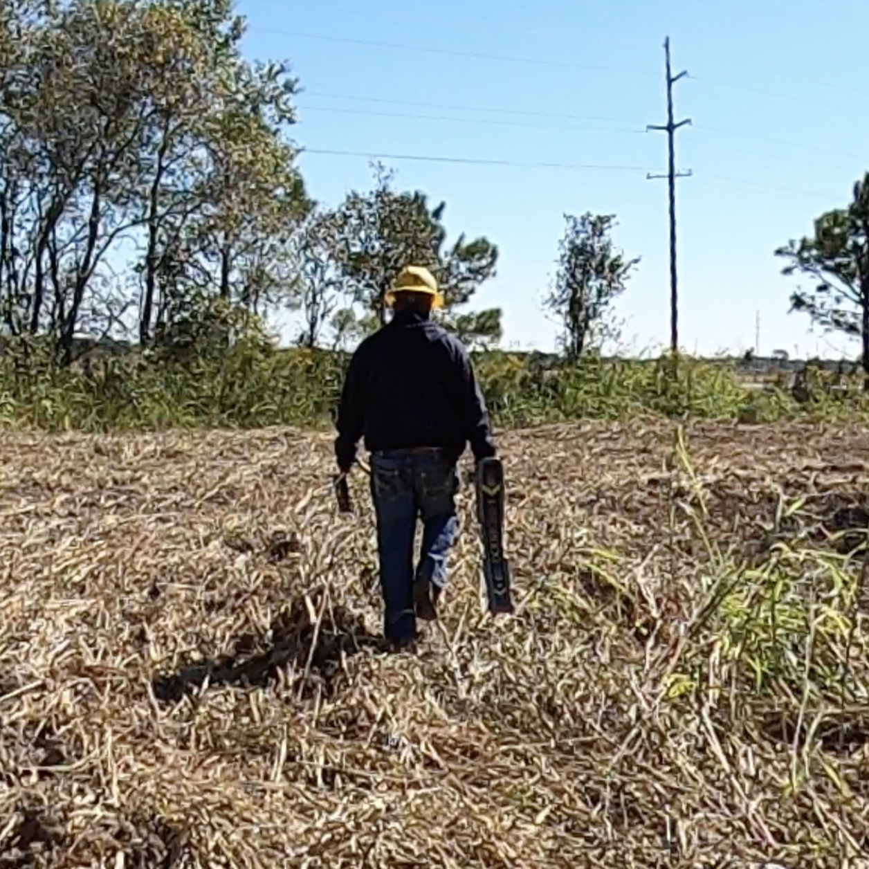

3 Days
3 Days in the field
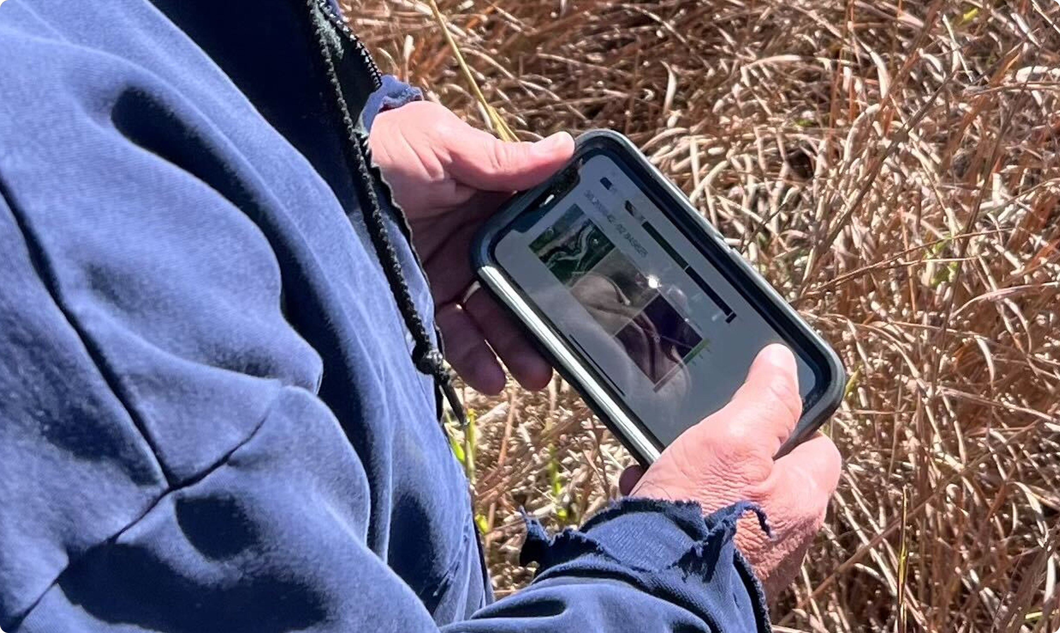

8+
Customer interviews
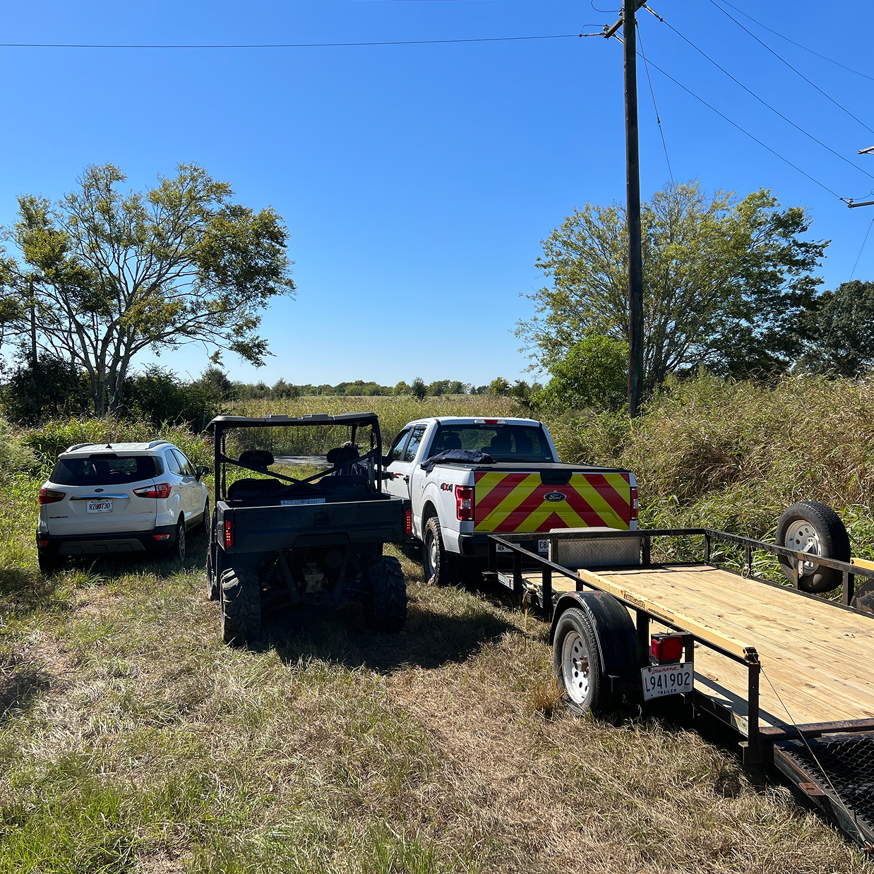
Research In Practice
Empathy for the Operator
Built from direct field observation, ride-alongs, and interviews. Tap each quadrant to explore.
Key Finding
Respecting Subject Matter Expertise
The customers weren't resistant to technology. They were resistant to technology that didn't respect their expertise. SIGMA Monitor had to become their sidekick, never their replacement.
Large organizations, harnessing the power of multi-data sources, with sensors and spatial-thinking technologies, needed to have operational trust in both the field and in the office.
The Science
Every Detection
Starts with Light.
Hyperspectral imaging captures hundreds of light bands invisible to the human eye. Every material, whether methane, vegetation, or minerals will reflect light with a unique spectral fingerprint.
GHOSt doesn't take a photo. It takes a measurement. That measurement becomes a heatmap. That heatmap becomes a story on a map in SIGMA.

500+ Bands

400-2500 NM

8M HSI

3M Grayscale

Spectroscopy
"It's All About
the Colors, Man!"
Alvin Spivey, PhD.
VP of Analytics, Orbital Sidekick
Move your cursor to reveal what GHOSt detects. Methane plumes, spectral anomalies, and emission signatures that are completely invisible to conventional sensors.

The Visualization
Heatmaps as Intelligence.
Not Just Imagery.
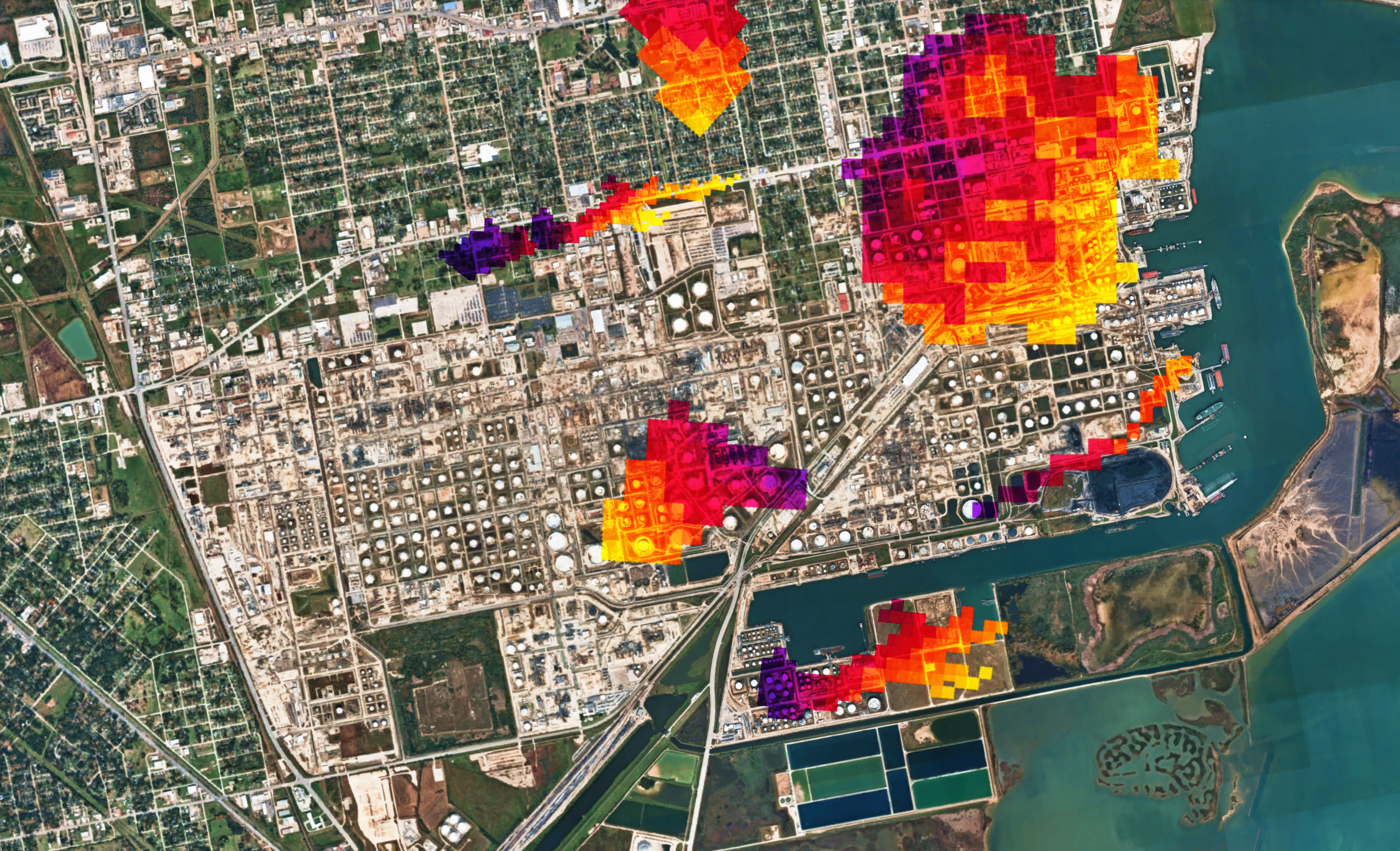
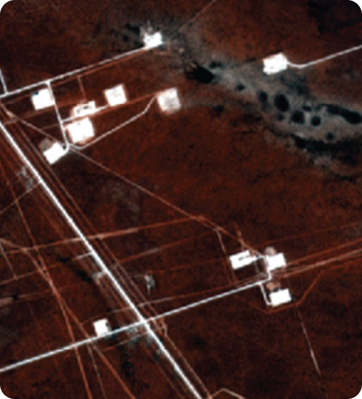
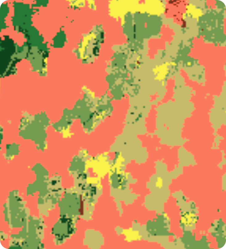
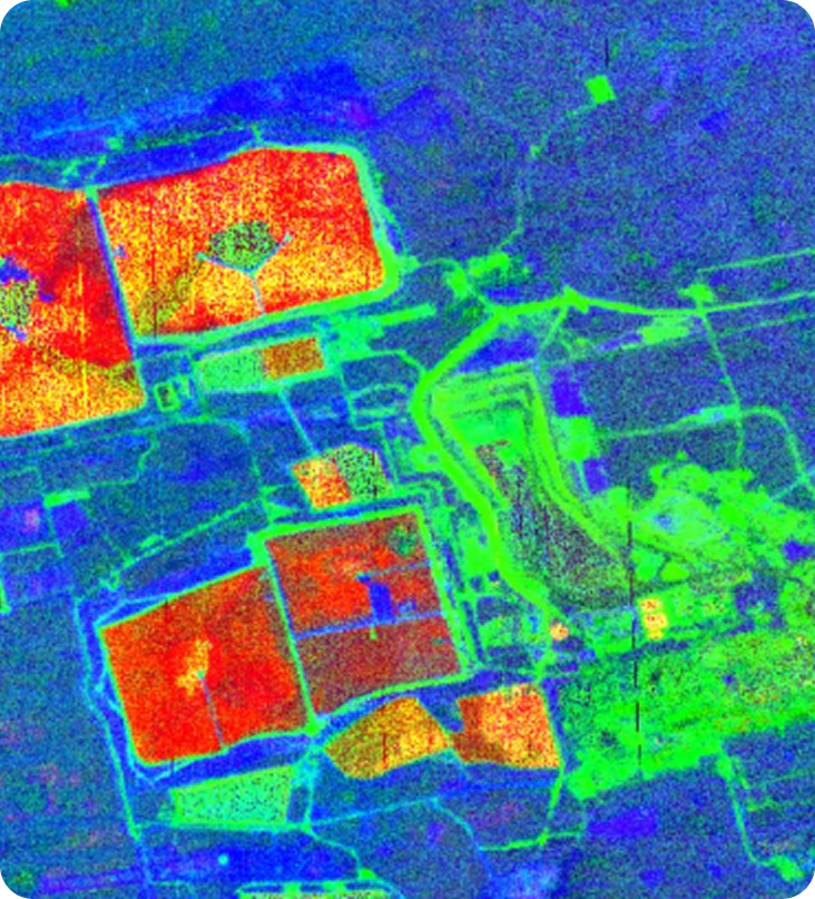
Each analytic product is a hyperspectral insight. The products are a specific way of interpreting spectral data to surface a particular kind of operational insight. The heatmap is the output the operator sees. Behind it is a full AI detection pipeline specific to that analytic's insight.



Flagship Product
OSK's Northstar
Methane is the flagship analytic product, a ppm-m heatmap showing concentration and dispersion of CH₄ emissions along pipeline corridors. But Monitor supports a full library: vegetation health, right-of-way encroachment, image classification, and more. Each one answers a different operational question for the data.
The Platform
Five Surfaces
One Complete Sidekick

Maps
Let's Think Spatially
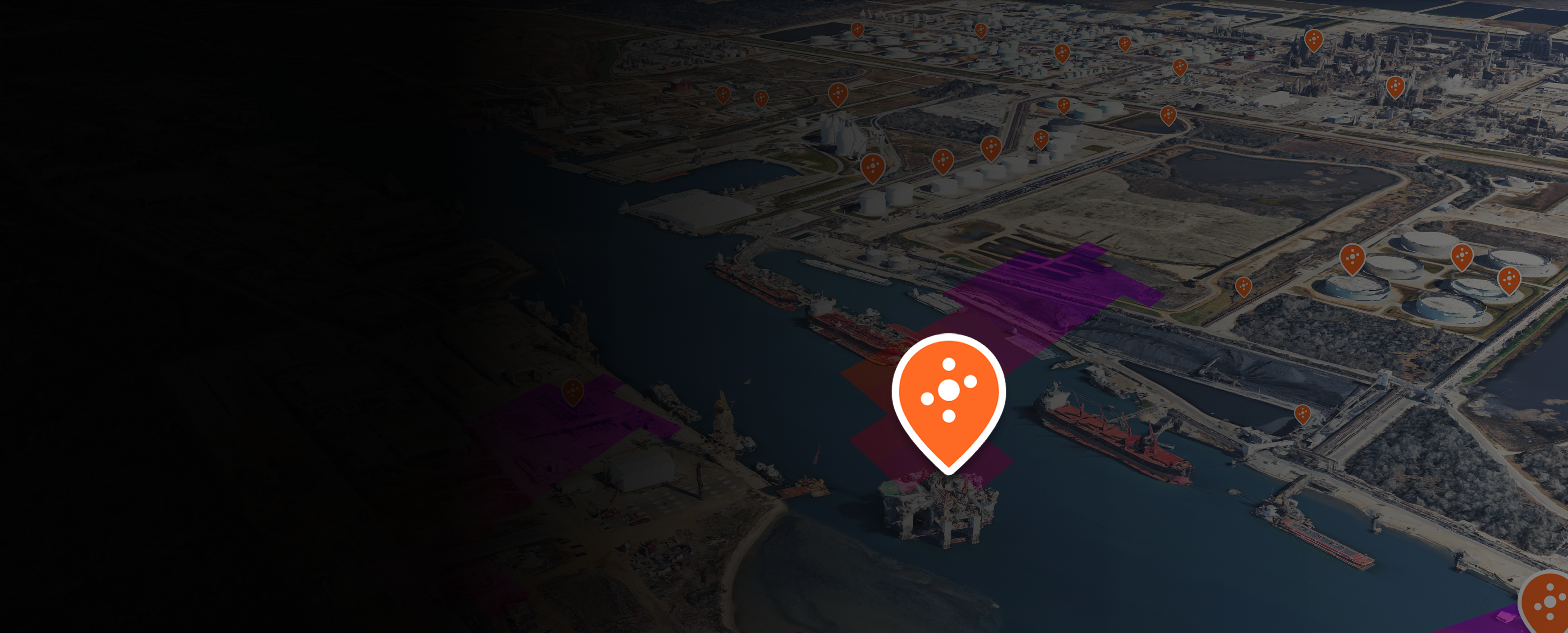
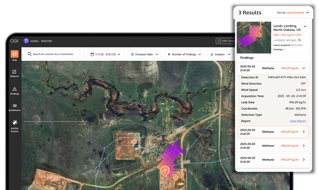
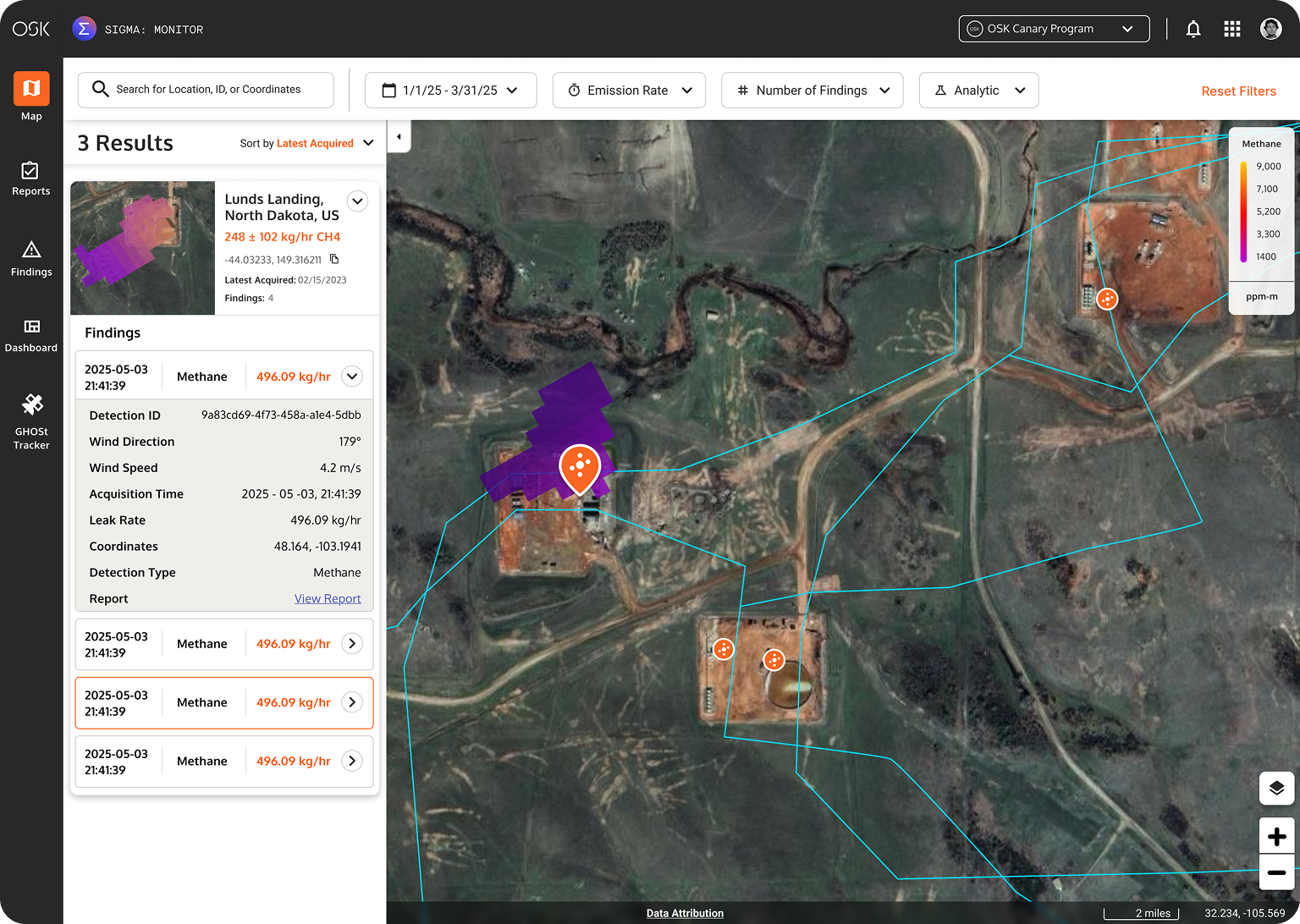
The persistent monitoring map gives operators a live spatial view of all their areas of interest. Assets, alerts, and spectral detections overlaid on a geospatial canvas. Every detection is pinned, timestamped, and linked to a full report. The operator sees their entire operational landscape at once.
Reports
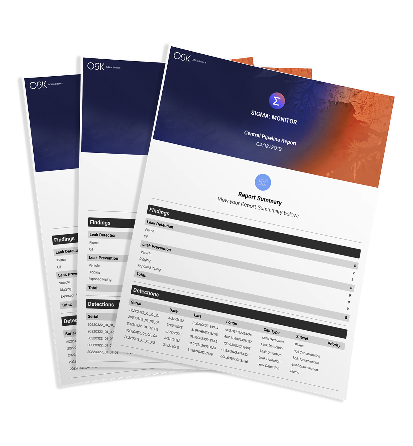
Quarterly Reports
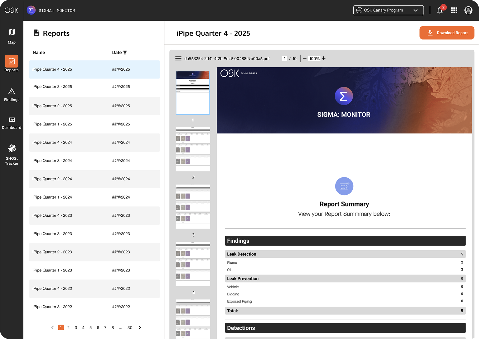
Every detection generates a structured, report-ready document. Alerts, detections, location metadata, and analytic type are all formatted for the operator, regulator, or executive audience. One click to export or share. No analyst required.
Dashboards
Insights, at a Glance
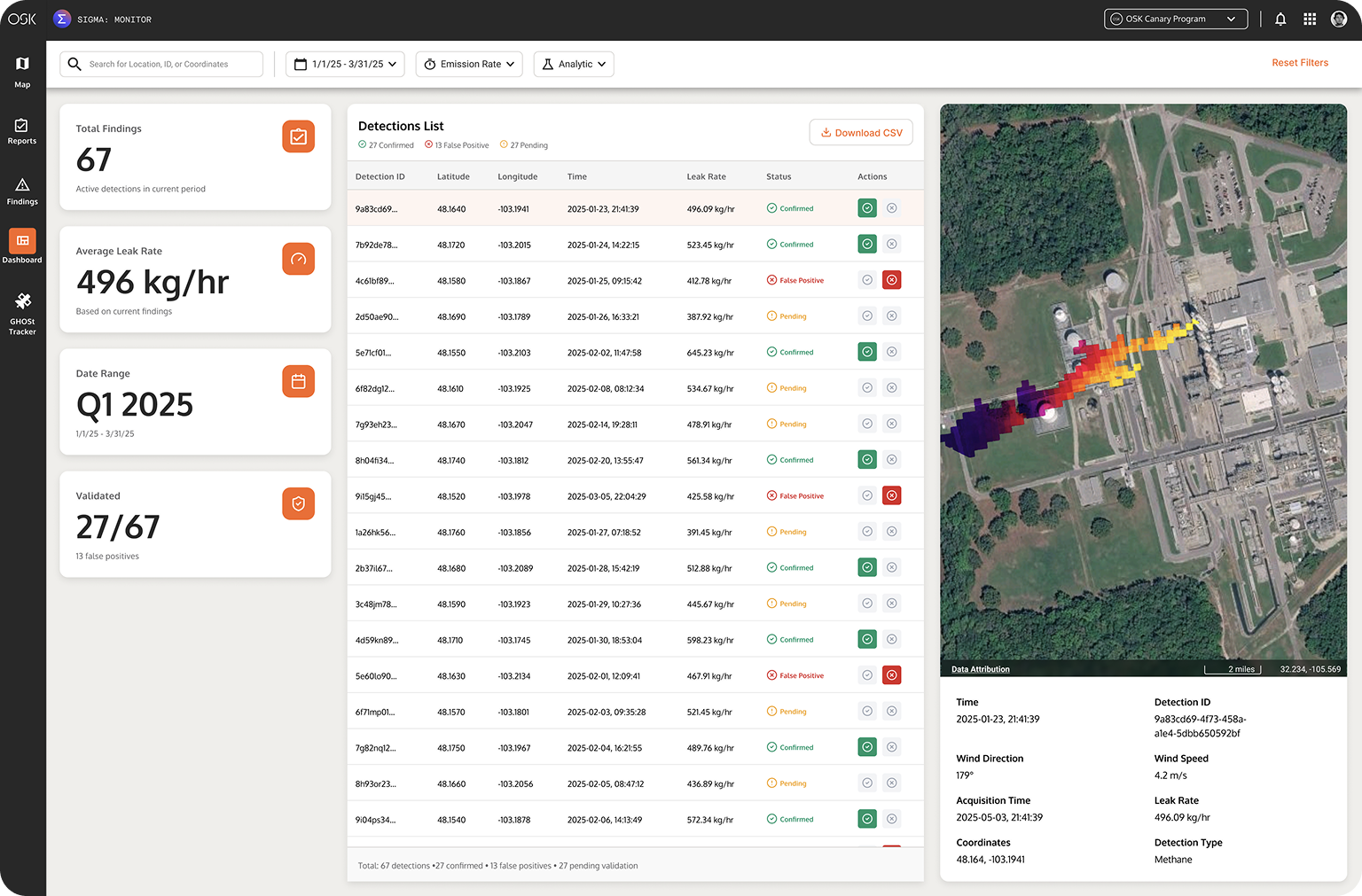
A tiered dashboard that filters by severity, analytic type, and asset corridor. High-confidence detections surface first. Operators triage from a dashboard designed to work like an inbox. Clear, actionable, and never overwhelming. Priority is built in.
Onboard
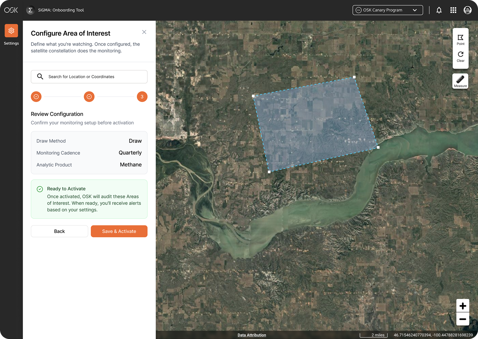
Asset Configuration
Operators define their AOIs, set monitoring cadence, select analytic products, and configure alert thresholds without touching a GIS tool. The configuration experience was designed to feel like setting up a smart home system: intuitive, visual, and immediately confirmable.
API
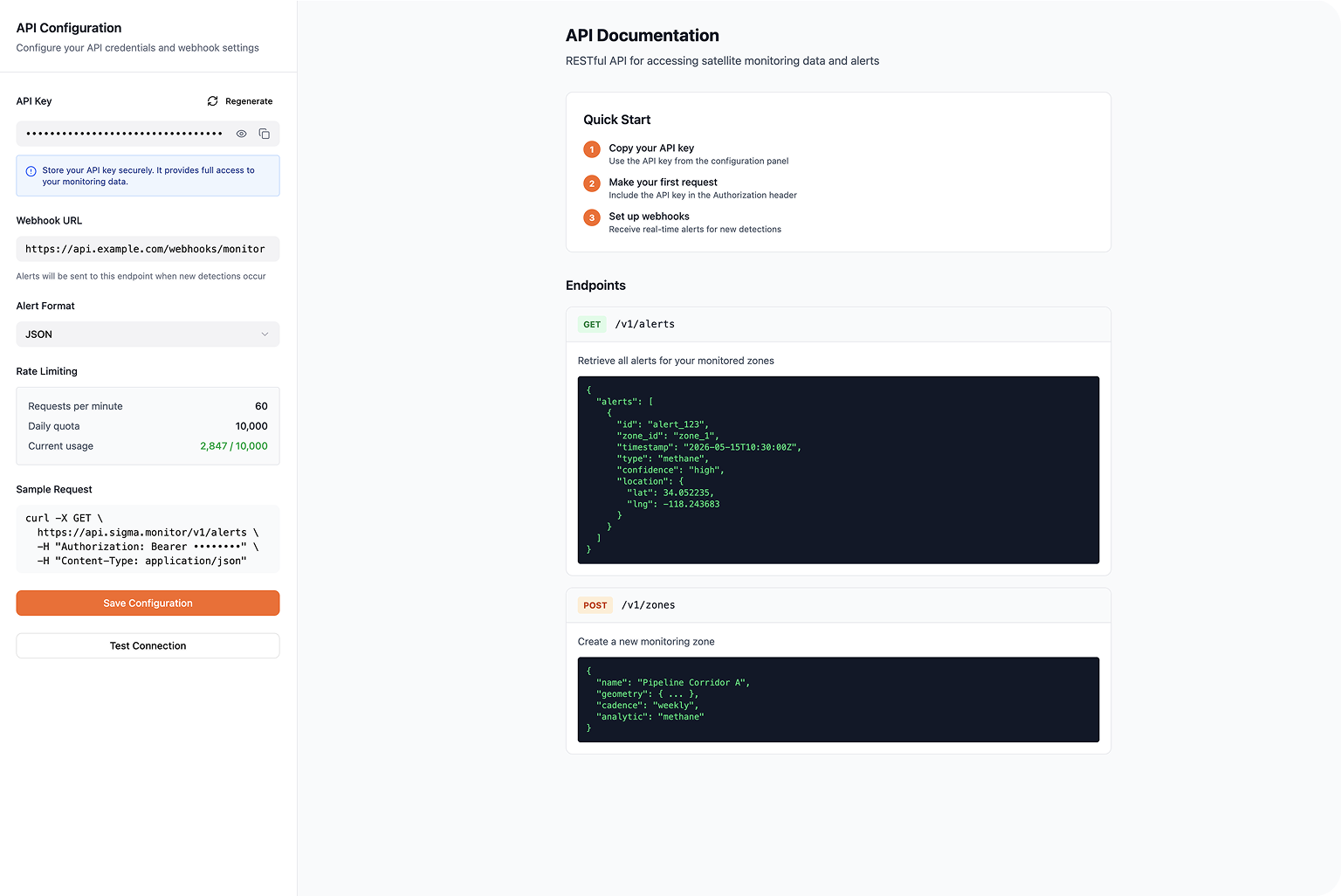
API Configuration
For enterprise operators with existing GIS infrastructure, Monitor connects via API to deliver data directly into their own systems. The configuration UI abstracts the technical complexity, allowing non-developer operators to set up and manage integrations without total engineering support. Many customers were long established ESRI users.
Impact
Real Product.
Real Data.
Real Stories.
The impact of SIGMA Monitor was never just about metrics. It was about using satellite imagery and hyperspectral intelligence to help operators tell the right stories with their data. We created stories that get the job done, accelerate net zero commitments, and deepen our understanding of the natural world. When a pipeline operator can see a methane plume from space before it becomes a disaster, that's not a number on a dashboard. That's a decision made faster, a leak stopped sooner, and a community protected. The product became a language to translate what satellites see, establishing actions that matter on the ground.
33,796+
Kilometers of Pipeline
Monitored Per Quarter
$400K+
Worth of Product Saved
via Right-of-Way Monitoring
340 kg/hr
Average Emissions Rate
Detected, Onshore Assets


"Orbital Sidekick raises $10M to bring hyperspectral imaging to oil and gas pipeline monitoring."

"Orbital Sidekick uses AWS to monitor energy pipelines and reduce risks and emissions."

"From routine to novel applications at the intersection of space and AI."

"How Orbital Sidekick uses AI and hyperspectral data to monitor energy infrastructure."
Dedication
Dedicated to the people &
what they built.
Dedicated to the people of Orbital Sidekick. The engineers, designers, business experts, scientists, customers and dreamers who took the risk to build something new.
Our story was forged with curiosity, resilience, and a belief that thoughtful technology and design could help shape a more sustainable understanding of our natural world.

Designed &
Built in the USA
Know Now, Act Fast